The Death of the Ladder: Why Your Roofer is Sending a Drone Instead of a Human
I’ve spent nearly three decades dragging my bones across 12-pitch roofs, smelling the acrid tang of sun-baked asphalt and feeling the crunch of granulated loss under my boots. In the old days, we diagnosed a leak by the seat of our pants and the stain on your drywall. But by 2026, the game has shifted. If your local roofers aren’t showing up with a high-resolution digital map of your property, they aren’t just old-school—they are dangerously obsolete. I remember walking onto a job site in the middle of a brutal October. Walking on that roof felt like walking on a damp sponge. I didn’t even need to pull a shingle to know what I’d find underneath: a catastrophic failure of the vapor retarder that had turned the deck into a mushy, rot-filled mess. A 2026 digital map would have caught that thermal signature six months earlier, before the mold started eating the rafters.
The Physics of the Digital Map: Beyond Pretty Pictures
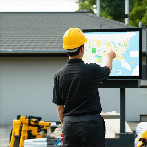
When roofing companies talk about digital maps today, they aren’t talking about a grainy Google Earth screenshot. They are talking about LIDAR (Light Detection and Ranging) and multispectral thermography. This isn’t just tech for tech’s sake; it’s about understanding the Mechanism of Failure. Let’s look at a common northern climate issue: thermal bridging. During a cold snap, your house leaks heat like a sieve. That heat hits the underside of the roof deck, melts the snow, and creates a reservoir of water held back by a block of ice at the eaves—the dreaded ice dam. [image_placeholder_1] A digital map uses thermal sensors to identify these ‘hot spots.’ We aren’t just looking for leaks; we are looking for the thermal bleeding that causes them. If your contractor doesn’t see the R-value deficiency through a digital lens, they’ll just sell you a new roof that will fail the exact same way in five years.
“A moisture survey is a necessary component of any comprehensive roof management program, allowing for the identification of entrapped moisture that is otherwise invisible to the naked eye.” – NRCA (National Roofing Contractors Association) Manual
The Material Truth: Why Your Warranty is Likely Trash
Roofing companies love to throw around the phrase ‘Lifetime Warranty.’ In my 25 years, I’ve seen exactly zero lifetimes covered by those pieces of paper. Most warranties are heavily prorated and riddled with exclusions for ‘improper ventilation.’ This is where the digital map becomes your best friend. These maps create a digital twin of your roof, documenting the exact condition of the deck, the placement of every cricket (those small peak structures used to divert water), and the integrity of the valley flashing. Without this digital record, you’re just taking a salesman’s word for it. When the shingles start flapping because of a ‘shiner’—that’s a nail that missed the rafter and provides a direct conduit for water—you need the data to prove it was an installation error. Capillary action is a patient killer. Water can travel sideways under a shingle for six feet before it finds a ‘shiner’ to drop through. A digital map tracks the moisture migration path that no human eye can see.
The Cold Climate Reality: Ice, Air, and Digital Defense
In the North, our roofs aren’t just covers; they are thermal shields. We deal with attic bypasses—tiny gaps where warm air escapes into the attic. A digital map identifies these bypasses by highlighting ‘plumes’ of heat loss. If you ignore this, you get condensation. I’ve seen plywood turn to a substance resembling wet cardboard because of simple air leakage. Digital mapping allows 2026 roofing companies to calculate the exact ‘ventilation balance’ needed for your specific square footage. If your roofer isn’t talking about the intake-to-exhaust ratio and showing you a heat-loss map, they are just ‘shingle-slappers’ looking for a quick check. They’ll put on the shingles, collect the money, and leave you with an attic that’s basically a rainforest in the winter.
“Form follows function—that has been misunderstood. Form and function should be one, joined in a spiritual union.” – Frank Lloyd Wright
The Forensic Autopsy: How to Use the Map to Fight Insurance
Local roofers are now using these maps as forensic evidence in insurance claims. After a storm, an adjuster will walk your roof and call the damage ‘cosmetic.’ They’ll see a few bruises on the asphalt and tell you it’s fine. But a 2026 digital map can measure the granular loss and the microscopic fractures in the matting. By comparing a pre-storm map with a post-storm map, you have an irrefutable record of structural change. This is how you protect your deductible. Don’t let a ‘trunk slammer’ tell you a repair is enough when the digital data shows the hydrostatic pressure has already compromised the underlayment. Real roofing is about the layers you can’t see, and the digital map is the only way to make the invisible visible. If you’re hiring a company today, ask them for their LIDAR drone specs. If they look at you like you’re crazy, keep looking for a professional who knows that water is patient and gravity never sleeps.